
 The U.S. Geological Survey’s “Groundwater Watch” website provides groundwater-level data from a multiple network of wells, even wells equipped with real-time measurement devices that can monitor climate effects on water levels.
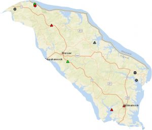
Because most USGS wells and springs are supported through State and local agencies, the maps usually show political boundaries by State. Networks organized by U.S. Principal Aquifers are organized by state and county within the individual Principal Aquifer.
To get a closer look at monitoring wells in the Northern Neck, and what they say about groundwater levels here, check the Virginia Active Water Level Network.
Additional Resources:
U.S. Groundwater Data for the Nation